Buckingham sits in a wide s-bend of the River Great Ouse, and most of the land inside that bend is public. Bourton Park, Chandos Park and many of the riverside strips between them are parks partly because the river floods them, which is a dull reason for a good outcome (we’re not saying flooding is a good outcome): you can be out of the town centre and on the riverbank in a few moments.
What follows are walks that start in Buckingham, in order of duration, starting with the shortest.
Routes, parking and access last checked: August 2026
The Railway Walk
One mile of straight, mostly flat, path along the bed of the old Buckingham railway line, which closed to passengers in 1964. It runs from Tingewick Road, near the university, down to the A421 near Tesco.
It’s the easiest walk here and the most rewarding for its length. The Buckingham Railway Walk Conservation Group has spent years turning the embankment into ponds, glades, an orchard and wildflower meadow (along Berties walk), and the two raised bridges give you views over the town you cannot get from street level. One crosses Hunter Street and the other crosses Bath Lane.
Neither seems to carry a name, on the maps at least. From the Hunter St bridge you can look out across Buckingham University and the old town towards Buckingham Church, which sits on Castle Hill.
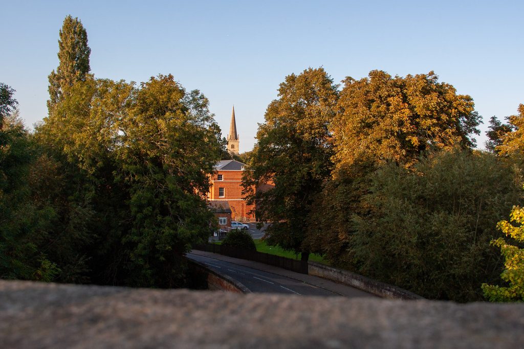
The Bath Lane bridge offers a different view, although the foreground is dominated by the old, disused factory site.
St Rumbold’s Well, named for the 6th century child saint, is in this stretch too. Sadly it is quite neglected.
Two authorities look after it: the Chandos Road to A421 section is Buckingham Town Council, the Tingewick Road end is Buckinghamshire Council and is signed as the Scenic Walk. Locally nobody makes the distinction.
The surface is concrete from Chandos Road to the A421 and a mix of hardstanding and concrete elsewhere, so it takes a pushchair or a wheelchair the whole way. The Council’s own advice is not to drive to it, which is fair, but if you must then the nearest on-street parking is on Station road. Nearest toilets are a short walk, in Chandos Park, including an accessible one on a RADAR key.
If you’re lucky and you get up early enough in the morning, you can spot deer and other wildlife along here.
Chandos Park and Bourton Park
Two riverside parks, both on the Great Ouse, both flat, and you can walk between them.
Chandos Park
Chandos Park is the town-centre park, reached from Chandos Road, Ford Street or the University footbridge. The river runs through the middle of it and the water is low and slow during the summer, making it the obvious picnic spot, although inexplicably many people flock to the Flosh, despite it being on private property. It was an industrial corner once, with the mill, the tanneries and the railway station all within a few hundred yards, and the bowls club was started by the local dairy factory.
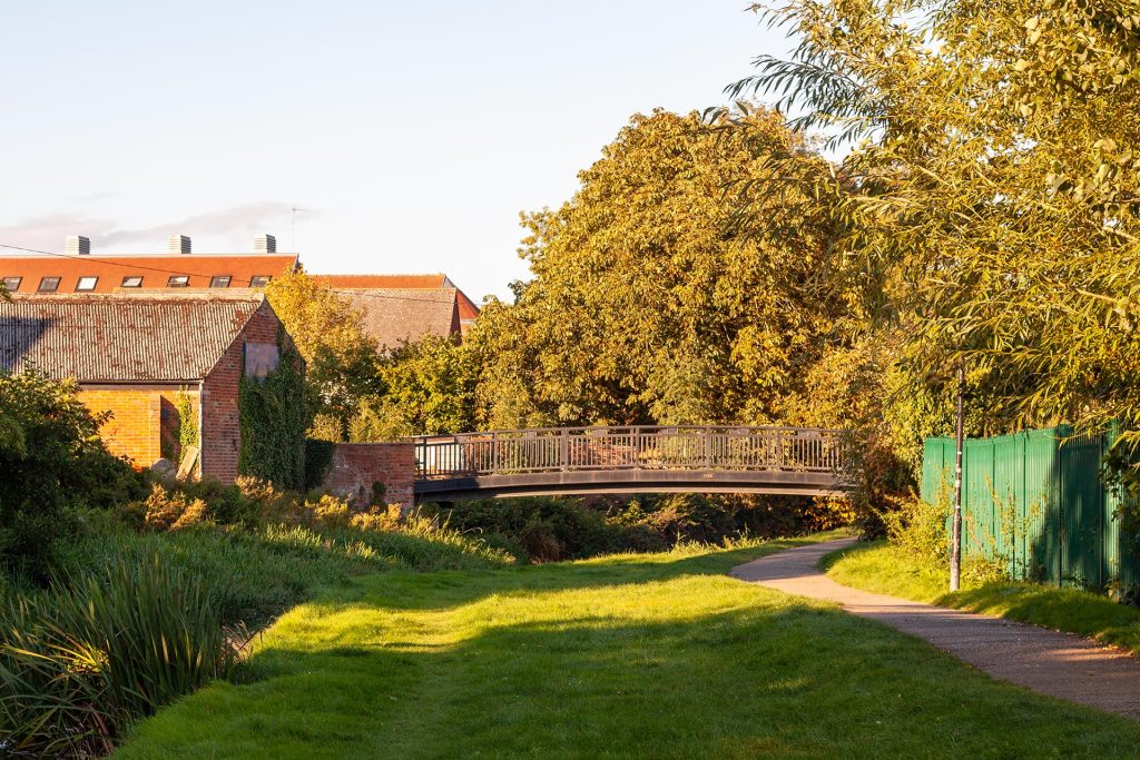
Cross the bridge and you are at the Flosh and onto the Railway Walk.
If you’re lucky you might spot herons or an egret fishing in the river. If you’re really lucky you might see a flash of blue as a Kingfisher flies past you on its way to catch some lunch.
Bourton Park
This is the bigger and the busier of the two. The river and a chain of ponds hold kingfishers and dragonflies, and the meadow and wildflower areas are left to grow. There are otters too, occasionally, coming through for the crayfish. The ones you will definitely see are wooden, chainsaw-carved by Andy Stentiford and put in during 2018 to replace an earlier set that had rotted.
It is the home of Buckingham parkrun and junior parkrun, and its hard-surfaced paths are the reason: you can run or push a chair round the whole thing.
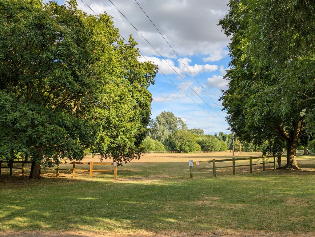
There is a trim trail of seven pieces of equipment, a games area, table tennis, and two play areas, one fenced for toddlers and one with a zip wire and balance trail for older children.
Bourton Park has its own car park on the Bourton Road side. For Chandos, park at Cornwalls Meadow. Dogs are welcome in both, off lead in the marked areas.
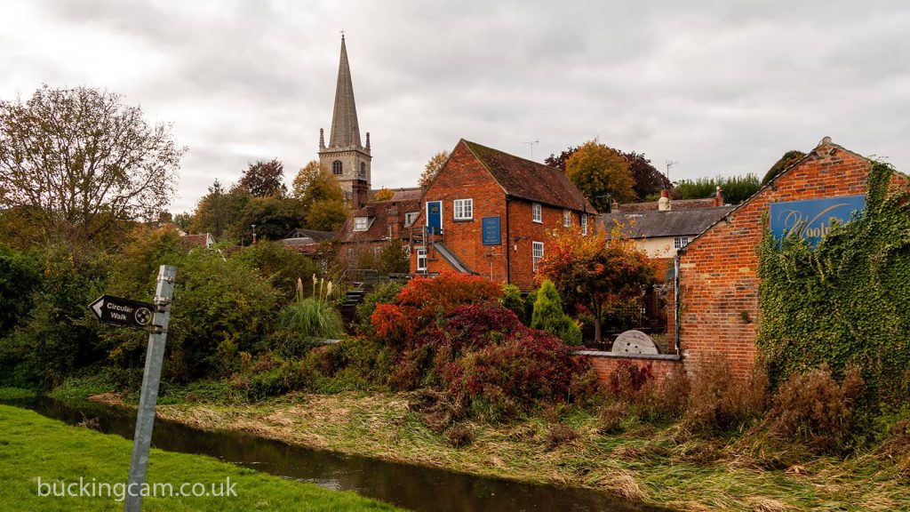
The Buckingham Circular Walk
The Circular Walk is the town’s own waymarked route, and it strings the lot together: Bourton Park, the University, Chandos Park, the Great Ouse and the old railway embankment.
It is signed the whole way, and there are three published alternative sections for anyone with a pushchair or a wheelchair, Chandos to the Flosh, the Chandos Alternative, and London Road to Bourton Park.
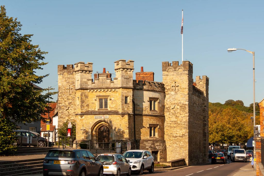
The map is a free PDF from the Town Council, and printed copies are at the Tourist Information Centre in the Old Gaol on Market Hill, which is worth the detour anyway.
The canal at Bourton Meadow and the Ouse Valley Way
The Grand Junction Canal reached Buckingham in 1801 and the railway killed it. Most of it went. The Buckingham Canal Society re-watered a stretch at Bourton Meadow in 2013, and that restored section is an interesting feature on the edge of this town that nobody outside it really knows about.
To find it, follow the footpath signs for the Ouse Valley Way or the Buckingham Canal from Bourton Park, along Burleigh Piece and across the A413. There is a height-restricted alternative from the Bourton Park car park if you would rather not cross the road, and the A413 crossing wants care whichever way you do it. The best way to do it is to cross under the road bridge, then go over the footbridge at the end. Make sure you duck when you go under the bridge.
There are three lengths, depending on how much time you have.
The shortest is the towpath to the top of the restored section and back, which gives you the reeds and the dragonflies, and you might see kestrels hunting over the fields either side.
It seems a bit incongruous to find this short stretch of restored canal in the middle of a field but there it is.
For a loop, carry on past the white house at the end of the canal, follow the public footpath signs along the Ouse Valley Way to a second house, turn right through the wildflower garden, over a narrow bridge, and head diagonally south across the fields. It finishes at a farm and you will meet sheep, cows and pigs on the way. The Larder Café is at the end of it.
For the long version, stay on the Ouse Valley Way past the wildflower garden for another kilometre or two and you reach the Buckingham Canal Nature Reserve, where there is a lake and a restored lock in the woods. Keep going and it is seven miles from Buckingham town centre to Milton Keynes, through Beachampton and Stony Stratford, almost all of it on old canal paths. That one is one way, so work out your bus before you set off.
The Town Council warns that the canal water is not safe for dogs, though they do not say why.
Stowe and Chackmore, if you want a full day
Six miles, circular, and the only walk on this page that leaves the town properly. Head north out of the centre on the footpaths through the fields to Chackmore, pick up the perimeter path round Stowe, cross the Oxford Water on the old bridge and come back down Stowe Avenue.
You get the parkland views from the perimeter footpaths for nothing, because the gardens themselves are National Trust and charged for. Check current prices and opening before you plan a day round them.
Parking, and where to start
Cornwalls Meadow is the car park to use, pay and display, next to the river and behind Waitrose, postcode MK18 1RP for the sat nav. There are blue badge spaces and electric charge points. Sundays are cheaper, so check the board.